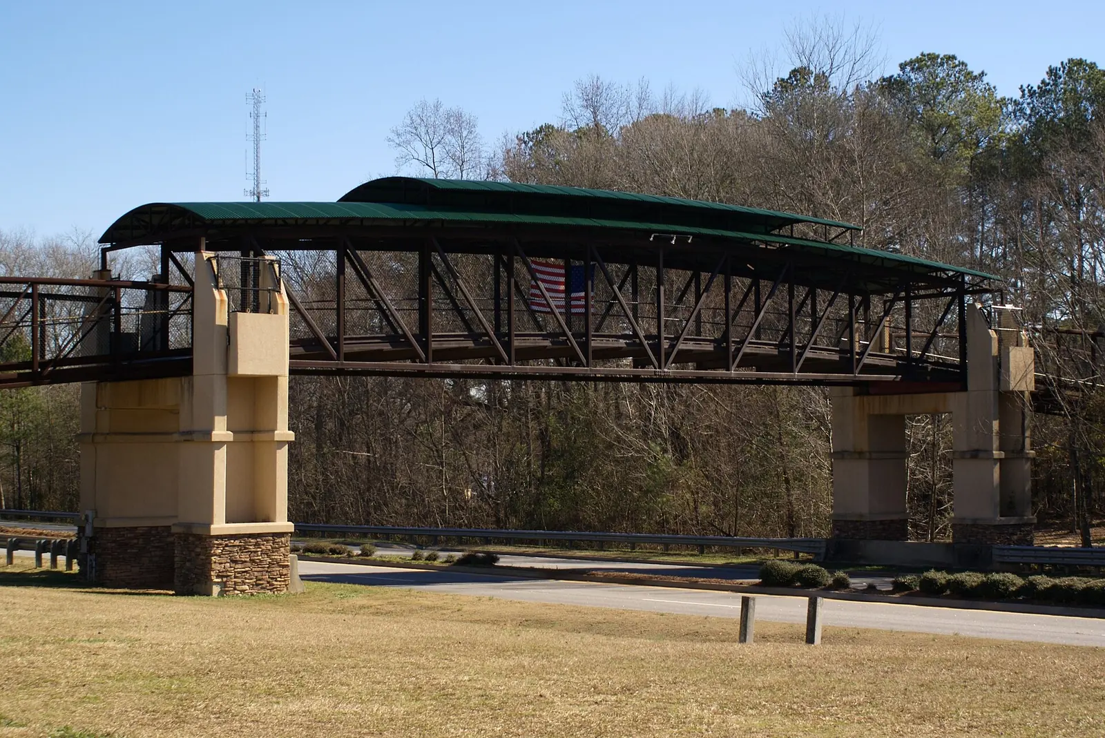
SR 54 and SR 74 cross Peachtree City; 100-plus miles of cart paths link the rest. Falcon Field is in town, and Hartsfield-Jackson is the airline airport.
Last checked Oct. 6, 2026. Facts come from the City of Peachtree City’s Transportation, Paths and Motorized Carts and Shared-Use Path System pages, and Atlanta Regional Airport. City Hall: 770-487-7657.
Peachtree City is about 20 miles southwest of Atlanta, according to the city’s Transportation page. Most trips start on one of two state highways or on the city’s signature network of golf cart paths.
Who to call
- Golf cart registration: City Hall, 770-487-7657
- Road and traffic conditions on SR 54 and SR 74: dial 511 or visit 511ga.org
- City streets and cart paths: Public Works, 770-487-5183
- Atlanta Regional Airport, Falcon Field: 770-487-2225
Main roads
The city says State Highways 54 and 74 pass through Peachtree City, connecting it to Fulton, Coweta and Clayton counties, with easy access to I-75 and I-85. Lane closures and crashes on the state routes are posted on 511 Georgia; city repaving schedules are on our road construction and closures page, updated weekly.
The cart paths
Peachtree City’s 100-plus miles of shared-use paths connect neighborhoods, shopping centers, places of worship, offices, schools, recreation centers and lakes, and carry walkers, cyclists and motorized carts, according to the city’s Shared-Use Path System page. The city publishes a current system map and the NavigatePTC app for Android and iPhone. The city counts about 11,000 registered carts.
Registering a cart, from the city’s carts page:
- Register in person at City Hall within 10 days of buying a cart, with the registration form, proof of ownership and photo ID. Carts are registered only to owners 18 or older.
- Residents pay $15 a year; the current three-year decal runs through Dec. 31, 2028. Owners who live outside the city also pay a $235 yearly path fee.
- Since an October 2025 ordinance change, decals go on both the front and rear of the cart.
- Report a sale within 10 days and a move within 60 days.
- Low-speed vehicles may use the paths if limited to 20 mph, tagged and insured through the Fayette County Tag Office, driven by a licensed driver and fitted with an amber strobe light.
The full rules are in the city’s Motorized Cart Ordinance, chapters 70 and 78 of the city code. Routes and loops for walkers and riders: walking and biking trails.
Biking
Besides the paths, the city marks some streets as bike-friendly; its official map highlights Dividend Drive and Robinson Road for street cyclists. Printed city maps are sold at City Hall and the Peachtree City Visitors Center, the city says.
Transit and commuting
The city’s Transportation page lists no local bus service. It says express commuter bus and train service is available just outside Peachtree City, links to MARTA for rail and trip planning, and points commuters to the Atlanta Regional Commission’s commute options, including carpool and vanpool matching through RideSmart and rewards through Log Your Commute.
Airports
- Hartsfield-Jackson Atlanta International Airport, 6000 N. Terminal Parkway, Atlanta, is the airline airport the city points travelers to. Check flights and parking on the airport’s website.
- Atlanta Regional Airport, Falcon Field (KFFC), 7 Falcon Drive, is in Peachtree City’s industrial park. It is a general aviation airport, open 24 hours, with a full-service fixed base operator, according to its website; call 770-487-2225. It is owned and run by the Peachtree City Airport Authority, a separate government agency whose five-member board meets at 6 p.m. on the third Tuesday of each month at the Aviation Center, per the city. The Air Dot Show Atlanta uses the airport Oct. 31 and Nov. 1: see our air show guide.
Parking
The city’s website does not publish downtown parking decks, time limits or enforcement hours. The Avenue has golf cart charging stations, per our holiday shopping guide, and the city’s parks list golf cart parking at nature areas such as Line Creek.
What this means for you
- Register your cart within 10 days of buying it, and put decals on both ends.
- For SR 54 and SR 74, check 511 before you leave.
- Airline flights mean Hartsfield-Jackson; Falcon Field is for private and charter flying.
More: moving to Peachtree City and parks and trails.
Frequently asked questions
What highways go through Peachtree City?
State Routes 54 and 74. The city says they connect Peachtree City to Fulton, Coweta and Clayton counties and give easy access to I-75 and I-85.
Can you drive a golf cart in Peachtree City?
Yes, on the city’s 100-plus miles of shared-use paths, if the cart is registered with the city. Owners must be 18 or older and register within 10 days of purchase at City Hall.
Is there public transit in Peachtree City?
The city’s transportation page lists no local bus. It points commuters to express bus and train service just outside the city, MARTA, and carpool and vanpool programs.
What is the closest airport to Peachtree City?
Atlanta Regional Airport, Falcon Field, at 7 Falcon Drive in Peachtree City, is a general aviation airport. For airline flights, the city points to Hartsfield-Jackson Atlanta International Airport.
Have your say